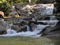
Lata Tebing Tinggi
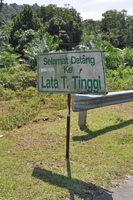
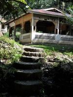
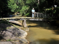
From Selama you follow the A115. After about 4 km, turn right, there is a sign to Lata Tebing Tinggi. After another 7 km you will reach the waterfall. A ruined shelter, a bridge that has seen better days, the place could do with some maintenance. But still popular with locals, a nice place for a family picnic.
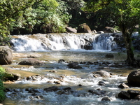
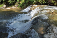
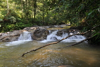
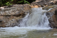
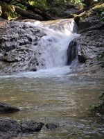
The waterfall is quite wide, but not tall. During our visit the flow of water was considerable. There is a trail which brings you further upstream, where there are more (smaller) falls and cascades.
You are welcome to send a comment about Lata Tebing Tinggi to the webmaster. Click here Nowadays you need a permit for many waterfalls. General information here
Waterfalls can be dangerous ! Always take care about your safety
| |||||||||||||||||||||
|
