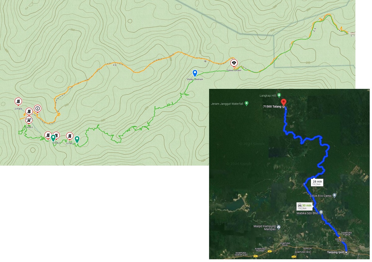
Jeram Janggut The satellite image of the region is cloudy, hence topographic map is used instead. BACK
The satellite image of the region is cloudy, hence topographic map is used instead.
BACK