Lata Nyangung
To reach the Nyangung fall you have to follow the same route as for the Seminyang fall, as they are waterfalls in the same river, the Perdak river. See this Seminyang page for details about access. The condition of the road following the Perdak river is very variable. During our visit they were busy upgrading the road, it was almost passable for normal cars. But a few weeks later after rain, the road condition had deteriorated considerably.
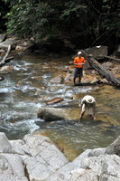
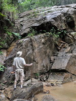
The problem with this fall is that there is no trail down the slope to the river. You will have to find your own way down, about 2 km after the Mini Hydro Power station. Depending on where exactly you start, you will reach the river near the base of the fall OR near the top. During our visit we first went to the base.
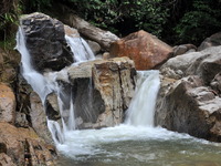
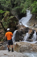
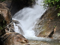
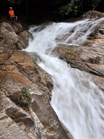
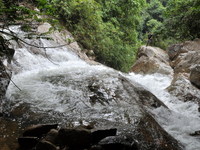
The fall is quite impressive and unspoiled, as there are hardly any visitors.
You are welcome to send a comment about Lata Nyangung to the webmaster. Click here Nowadays you need a permit for many waterfalls. General information here
Waterfalls can be dangerous ! Always take care about your safety
| ||||||||||||||||||||
|
