Waterfalls around Kg Sadir
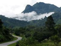
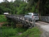
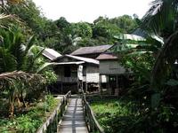
When you drive south from Kuching, you will soon be in the rural countryside of the Padawan. This is the region where the Bidayuh live, no longer in longhouses, but in attractive kampungs. One of these is Kg Sadir, on the slopes of the Penrissen range. There are several waterfalls near this kampung. The easiest way to reach Kg Sadir from Kuching, is to follow first the signage to the Semenggoh Wildlife Rehabilitation Centre and then to the Borneo Highlands Resort. Finally to Kg Sadir, where the road ends and you can park your car. The road quality is ok, except for some potholes.
Two waterfalls, Skedu and Ban Buan Sadir are quite close to the kampung. For the other two, Ban Buan Kukuot and Mabi, some trekking is needed. As there are many trails used by the farmers to reach their padi fields, it is a good idea to arrange for a guide in the kampung.
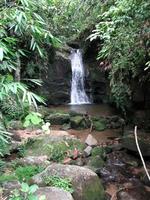
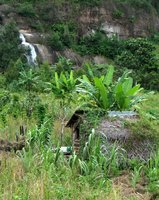
The Skedu fall is located very near to the village. It can not be missed because the villagers have constructed a cemented path to this fall.
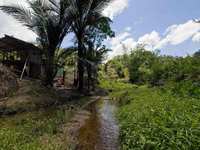
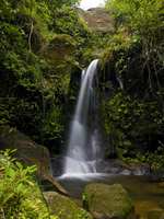
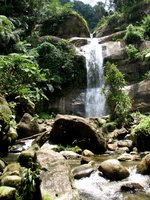
The Ban Buan Sadir waterfall is located on the outskirts of Kampung Sadir. On your way to Ban Buan Kukoat and Mabi , you’ll see several houses at the foothill. Just follow a clear stream beside the road and walk to the end in an upstream direction, you’ll find a paradise hiding behind the rocks.
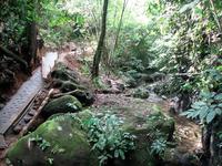
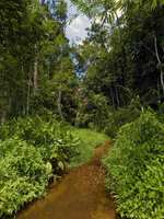
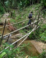
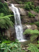
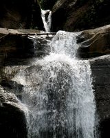
Well-kept trails lead to the other two falls. Streams are crossed on bamboo bridges. On the way to the Ban Buan Kukuot Fall, near a bridge, a small detour leads to the Mabi Fall. It is a small stream, with an attractive vertical fall
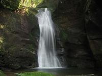
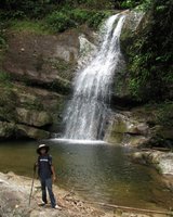
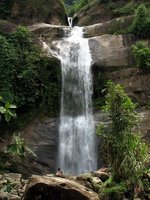
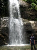
The trek continues, following well-maintained trails. Nice cultivated landscape. The Ban Buan Kukuot Fall is a powerful one, visible from far away. The trail crosses some more farmland and ends at the pool of the fall
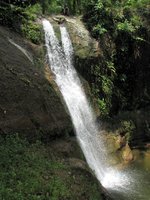
This is a very tall fall. It consists of at least two tiers. We found no way to reach the upper tier and the top of the fall. The large pool invites for a refreshing bath and a picnic. Back to the kampung takes about one hour.
You are welcome to send a comment about Kg Sadir falls to the webmaster. Click here Nowadays you need a permit for many waterfalls. General information here
Waterfalls can be dangerous ! Always take care about your safety
| ||||||||||||||||||||||||||||||
|
